Secure and automate your workflow
Geospatial information is one of the worlds “big data” sources. Geospatial enterprises routinely deal with the difficult task of collection, storage, processing and delivery of ever growing datasets.
Revelare Systems’ experience with geospatial information extends back to our founding as a software engineering company, supporting the hydrographic survey industry. As our capability has grown in the cloud services and industrial automation domains, we have built a strong framework of interdisciplinary skills to uniquely support acquisition, processing and dissemination of geospatial data in all its forms.
We build and support
- Cloud based storage and processing frameworks for hydrographic and topographic survey data supporting both legacy and cloud native tools
- Autoscaling cloud-based server pools for rapid parallel processing of LiDAR and imagery data
- Geodatabase systems with autoscaling storage and compute power
- Bespoke desktop and cloud applications for geospatial data treatment, quality control and manipulation
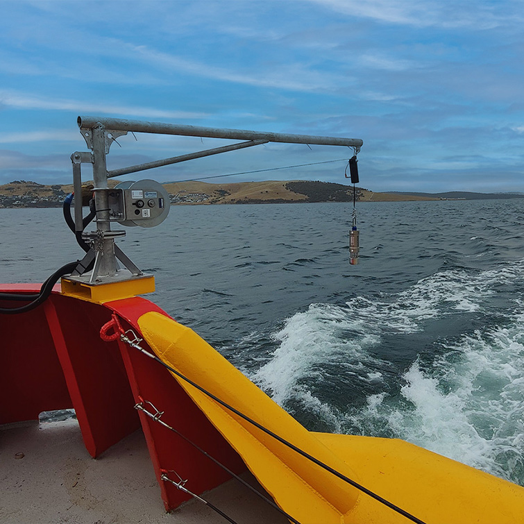
- Autonomous and networked field data collection systems for environmental data sampling
Whether it’s an autoscaling cloud-based geodatabase solution, in-situ automated geospatial data collection requirement, large-scale automated data processing or client data delivery framework,
Revelare Systems can assist with your geospatial information requirements.
Contact us