Advanced ocean intelligence and precise hydrospatial data for Australia’s defence strategy
Australia’s national defence strategy heavily depends on its maritime capabilities, essential for protecting almost 60,000 kilometres of coastline and managing one of the largest Exclusive Economic Zones (EEZ) in the world, covering nearly 10 million square kilometres.
The maritime domain is a complex ecosystem and accurate hydrospatial data is essential to naval operations, resource management, and environmental monitoring, all of which are vital to maintaining security and sovereignty across Australian waters.
Revelare Hydrospatial generates actionable intelligence from the ocean, atmosphere, seabed and both human and ecological systems in the environment, offering comprehensive services across the full spectrum of ocean intelligence.

As a panel member on the HydroScheme Industry Partnership Program (HIPP), Revelare Hydrospatial is a trusted partner of the Australian Government Department of Defence.
Ocean intelligence
Ocean intelligence is critical for ensuring tactical and operational superiority, as well as supporting the Blue Economy. We provide vital intelligence inputs across the entire maritime domain, from shallow water ports and harbours to the outer edges of the continental shelf and beyond. This capability ensures freedom of movement for both commercial and naval surface vessels and submarines, and autonomous platforms, safeguarding Australia’s maritime interests and security.
Expertise
- Australian Commonwealth hydrographic surveys for navigational safety.
- Geophysical and seafloor classification
- Oceanographic and meteorological observation
- Object detection and debris clearance
- Coastal infrastructure projects
Geophysical
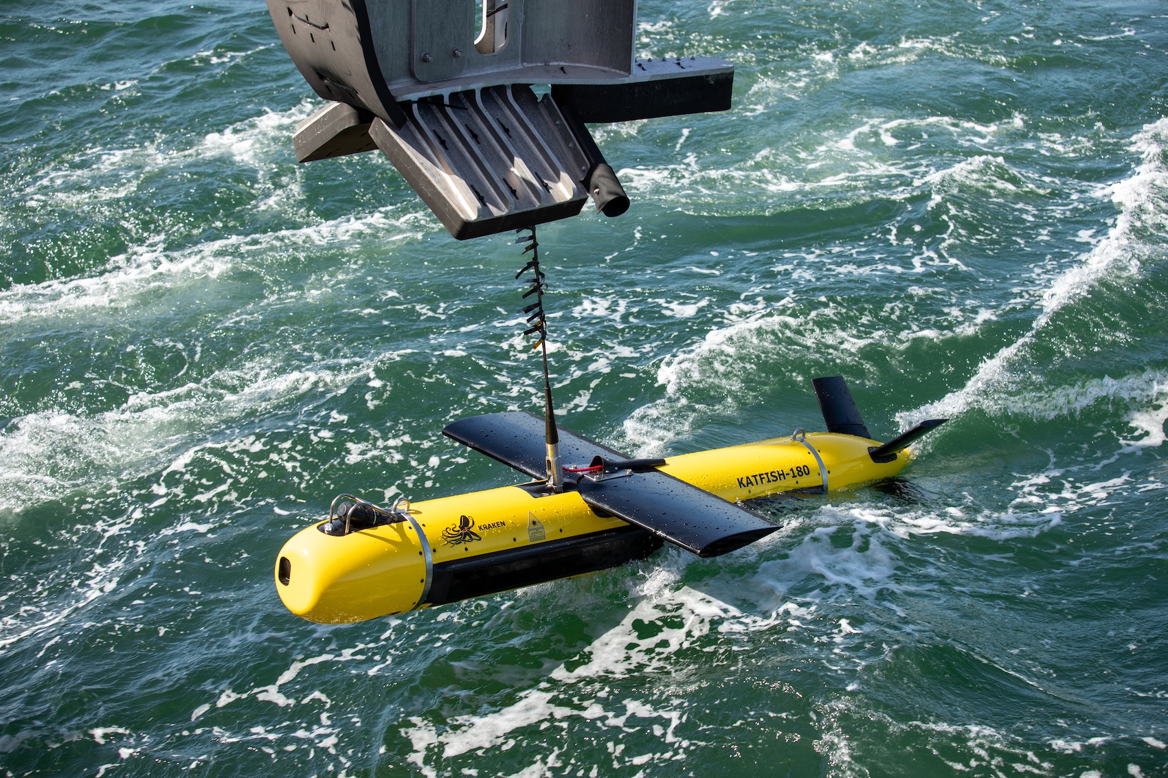
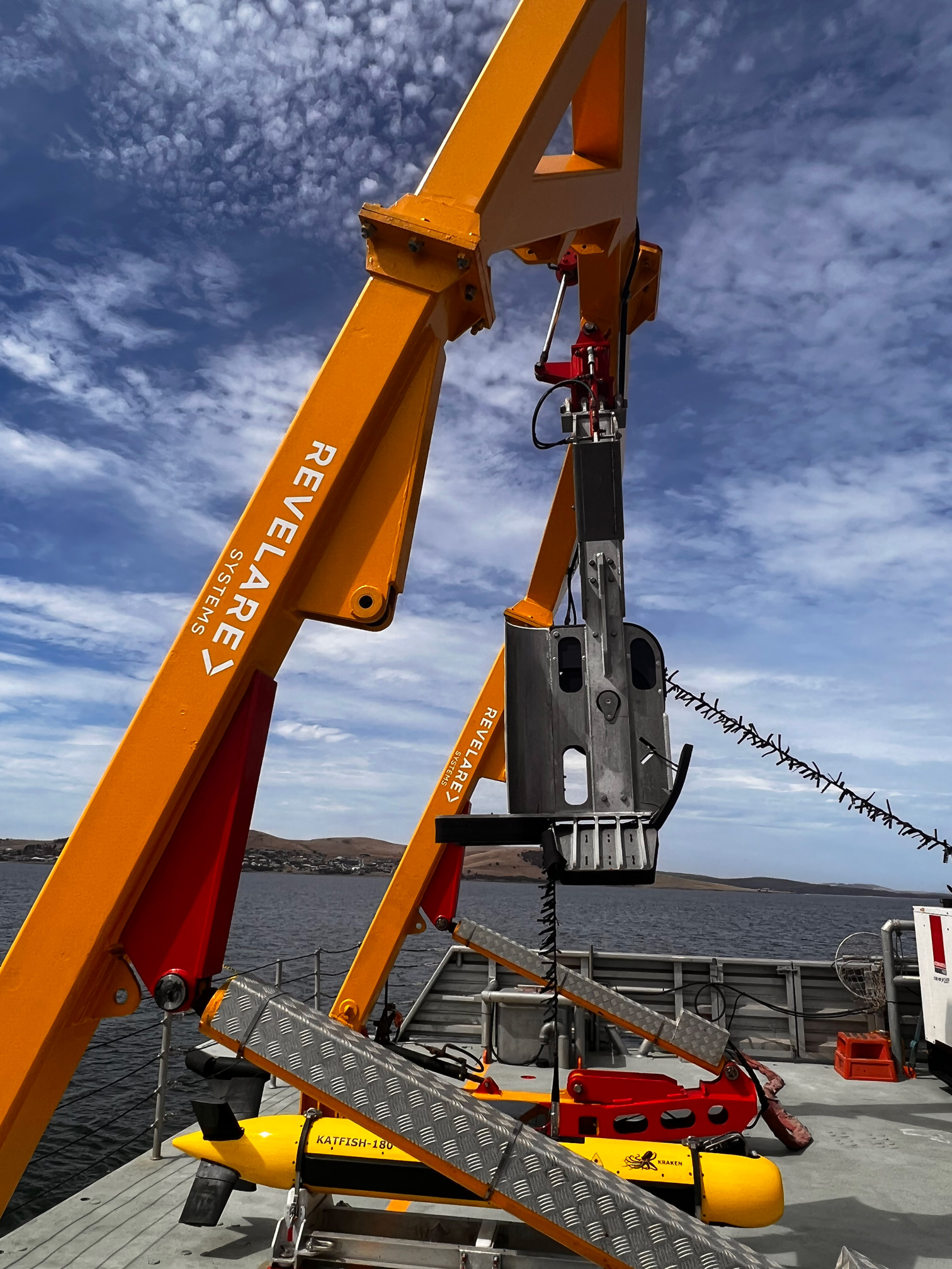
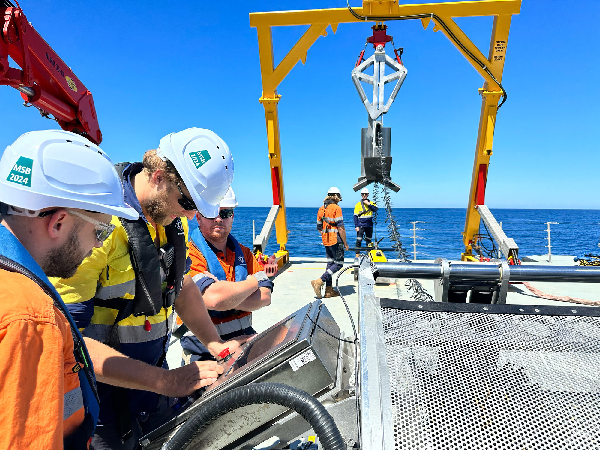
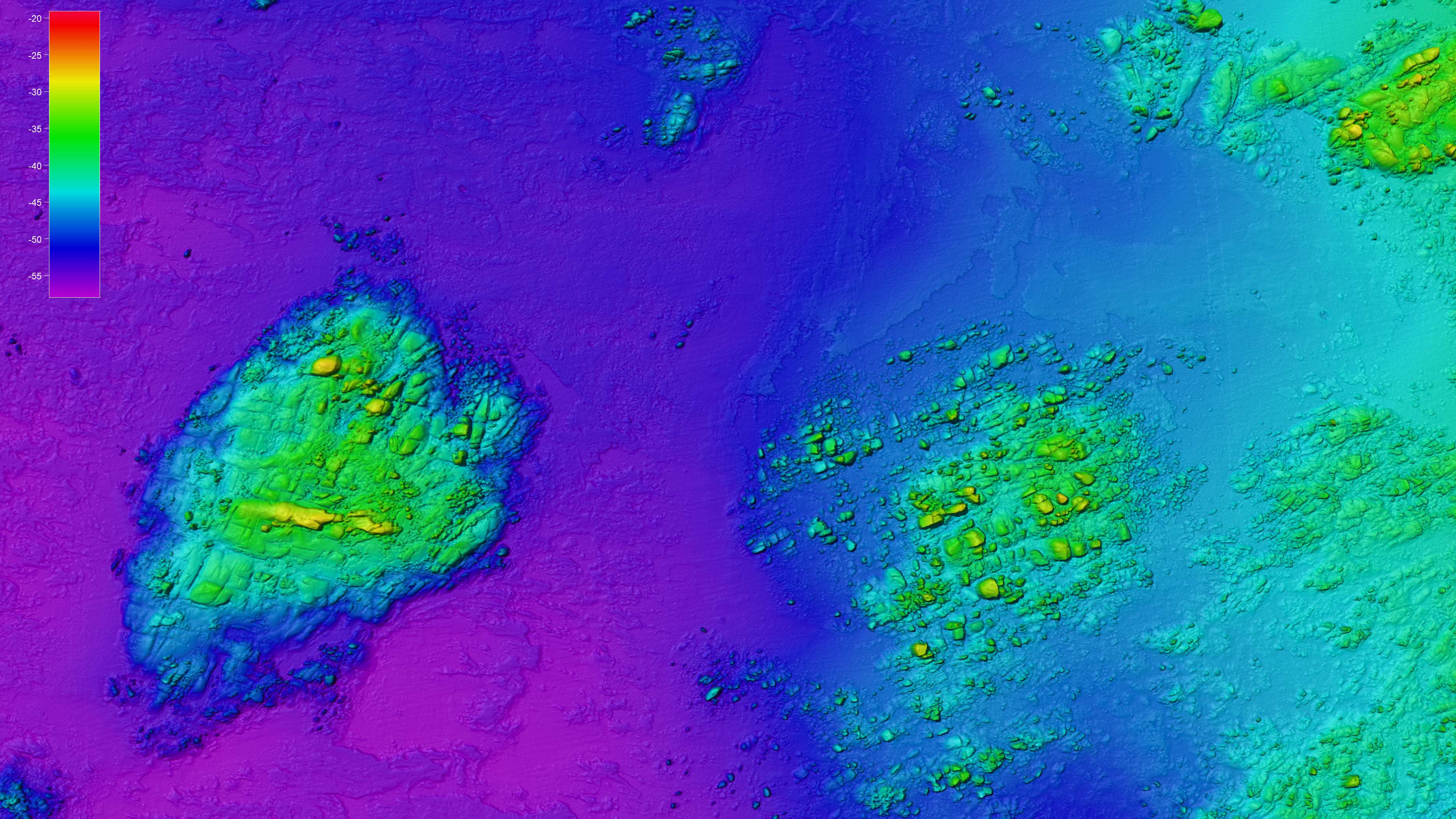
For the Defence sector, we offer precise seabed mapping, sub-bottom profiling, and geotechnical data collection. These capabilities are vital for naval operations, base expansions, and strategic maritime infrastructure planning. Our services help Defence organisations identify seafloor hazards, optimise underwater construction, and ensure safe navigation.
Environmental data is modelled by combining state-of-the-art technologies with ground truthing methods including:
- geophysical consulting to help clients understand the seabed from remote desktop studies to interpretation and analysing data
- hydrographic survey investigations to chart seabed depths, texture and morphology
- side scan survey images of the seabed to understand habitats and delineate different seafloor compositions
- sub-bottom profiling to provide three-dimensional imaging of subsurface sediment units

Our nautical charts comply with strict and demanding standards in accordance with the International Hydrographic Organisation (IHO) guidelines.
Nautical charting
Our high-resolution hydrographic systems identify seafloor hazards while supporting maritime domain awareness, ensuring civilian and military operations can navigate safely. These services enable precise route planning, infrastructure development, and the maintenance of secure maritime corridors. By delivering accurate, up-to-date navigational charts and underwater data, we help Defence clients enhance operational readiness and safeguard Australia’s extensive maritime territory.
Discover more of our work in other industry sectors
Local supply chain
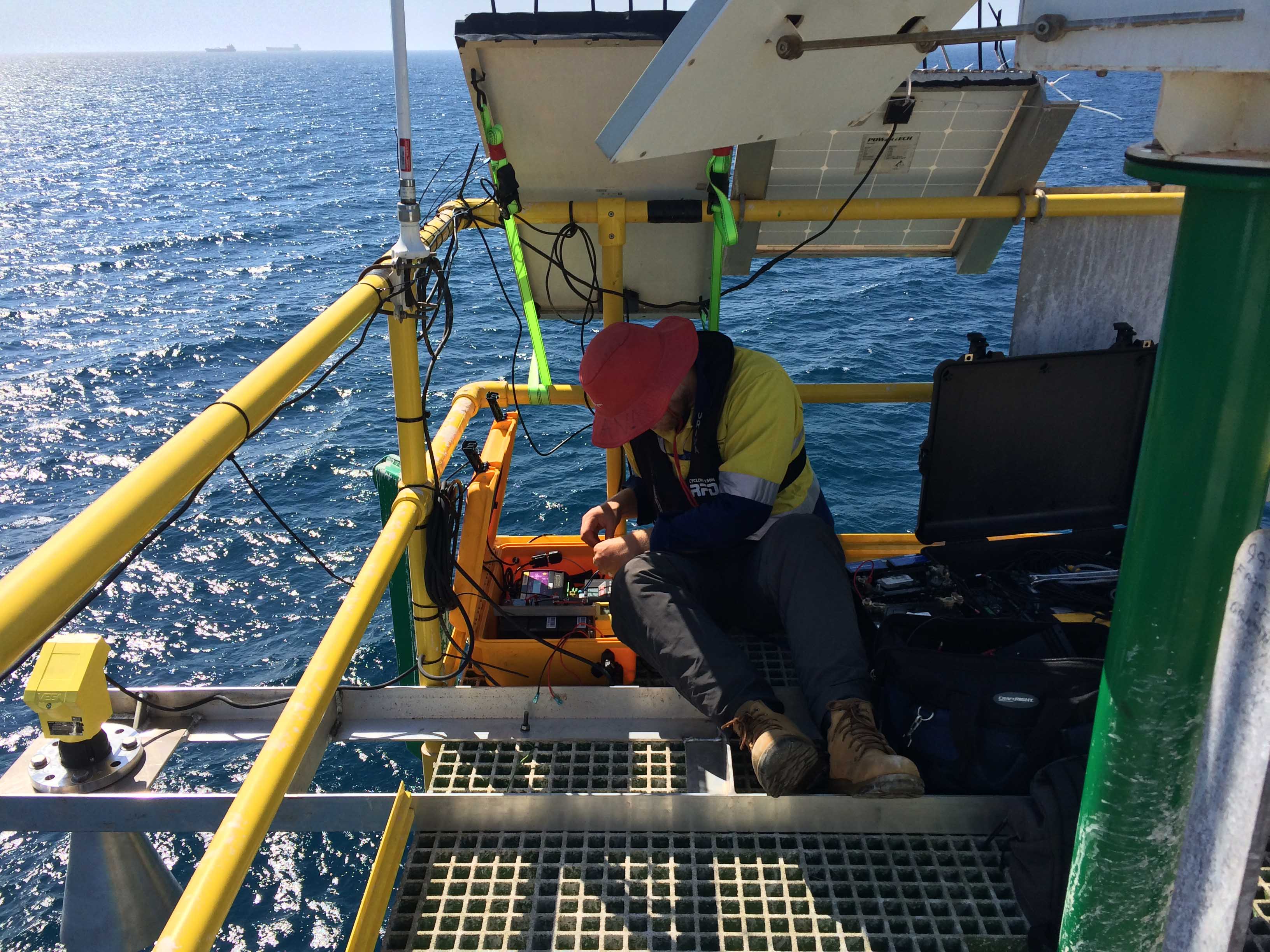
Being 100% Australian owned and operated, Revelare Hydrospatial provides local supply chain services and ensures seamless coordination, timely deliverables, and cost efficiency.
Our expertise, combined with a deep understanding of the local landscape, guarantees an operations support network tailored to your project’s specific needs.
With us, you can trust in a dedicated local partner committed to maximising the success of your project through a well-managed and responsive workflow.

