Precise data and expertise for sustainable energy development and optimised project execution
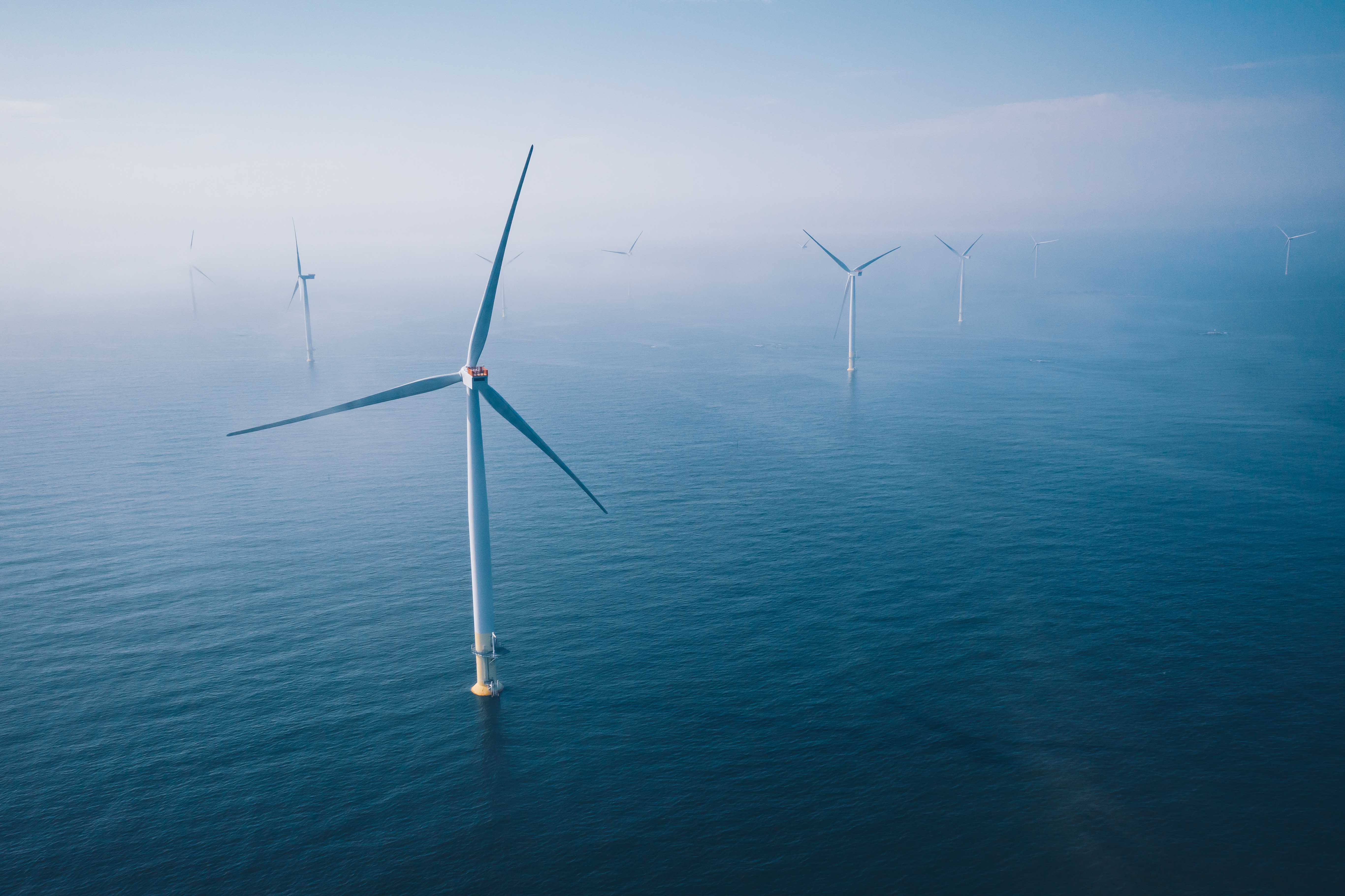
Australia’s offshore wind industry offers a significant opportunity to drive the transition to clean energy, leveraging vast coastal wind resources for early-stage project development.
Revelare Hydrospatial supports developers to navigate complex regulations, manage environmental impacts, and maximise energy production through precise data collection on wind conditions, marine ecosystems, and seabed features.
Our expert team combines years of hands-on experience with innovative technologies, delivering high-resolution insights into metocean conditions, seabed composition, and ecological sensitivities.
With a commitment to sustainability, we ensure all data gathering is conducted responsibly, minimising environmental impact and ensuring full compliance with regulations—empowering developers to plan and execute projects with confidence and precision.
Metocean
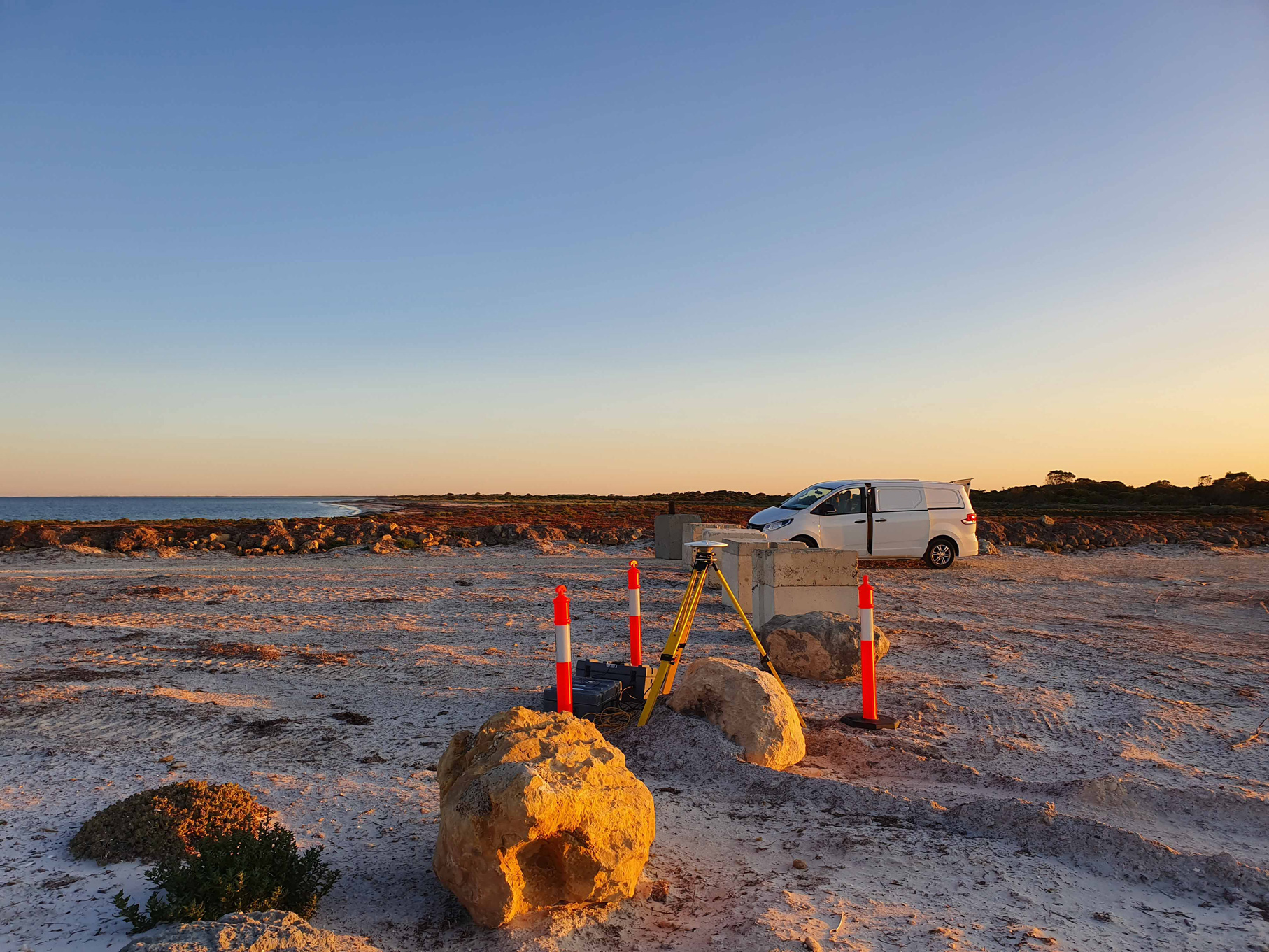
Meteorological and oceanographic (metocean) and wind resource assessments provide developers with high-quality data to optimise site selection, turbine placement, and project design. Using advanced instrumentation and technology we deliver precise insights into weather patterns, ocean conditions and environmental impacts, to help minimise engineering uncertainties, enhance safety and reduce operational risks and costs. This accurate and reliable data not only maximises energy production but also supports strategic planning for climate change adaption and marine spatial planning, ensuring long-term project success.
Expertise
- Capture of sea level data by pressure sensors mounted to the seabed or by GNSS buoys deployed offshore
- Recording of ocean current data by acoustic doppler current profilers (ADCP) deployed on the seabed
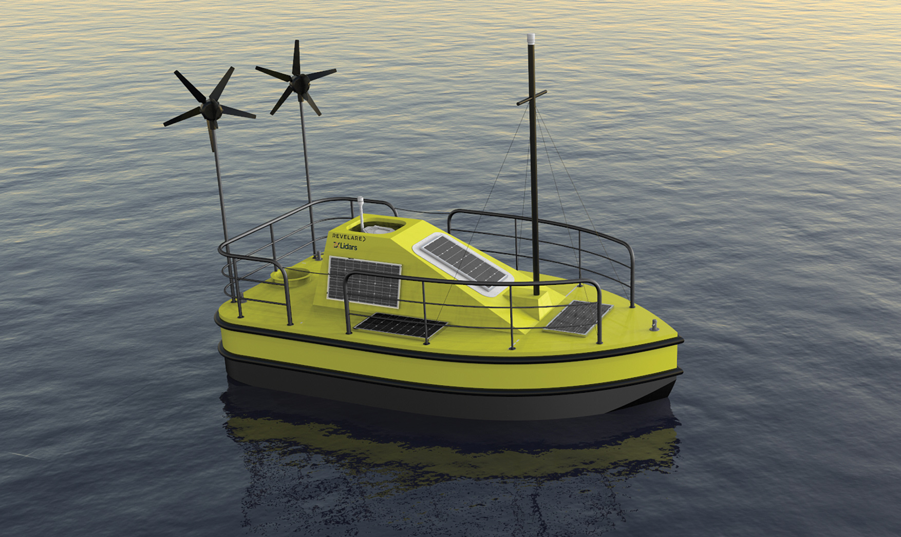
- Recording of wind strength and direction at various heights above the sea surface via Wind LiDAR sensors deployed for years at a time on LiDAR buoys
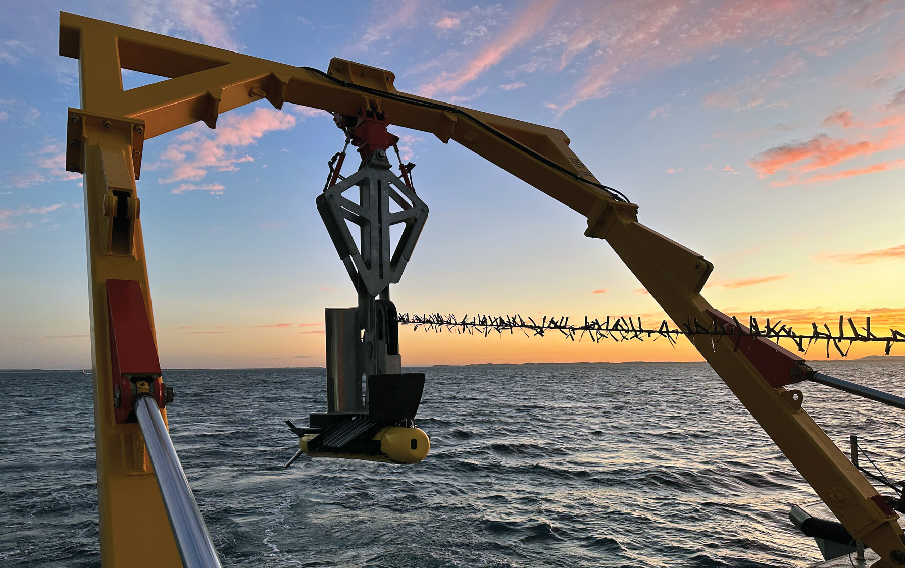
- Capture of sound velocity with sensors permanently fixed to vessels and deployed from moving vessels using a moving vessel profiling winch
Custom LiDAR buoy specifications
- ZX LiDAR 300M
- Nortek Acoustic Doppler Current Profiler
- Metocean sensors
- Daily uplinks with weekly quality reports
- 95% guaranteed uptime
- Powered by renewables (Solar and Wind)
- EFOY triple power backup
Geophysical
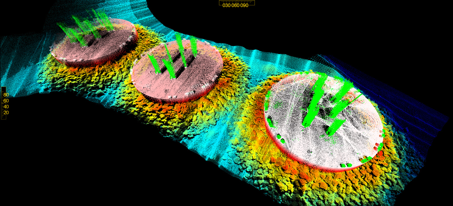
Geophysical surveys provide wind farm developers with the critical data and expert analysis needed to optimise turbine foundation design, cable routes, and site selection. Our geophysicists use high-resolution technologies, including three-dimensional data modelling, to map the seafloor, detect subsurface anomalies, and analyse sediment composition, reducing project risks and ensuring the structural integrity of offshore installations.
By identifying sensitive habitats and geological features through detailed surveys, we also support environmental compliance, enabling developers to plan and execute sustainable projects with confidence.
Environmental data is modelled by combining state-of-the-art technologies with ground truthing methods such as:
- geophysical consulting to help clients understand the seabed from remote desktop studies to interpretation and analysing data
- hydrographic survey investigations to chart seabed depths, texture and morphology
- side scan survey images of the seabed to understand habitats and delineate different seafloor compositions
- sub-bottom profiling to provide three-dimensional imaging of subsurface sediment units
Local supply chain
Being 100% Australian owned and operated, Revelare Hydrospatial provides local supply chain services and ensures seamless coordination, timely deliverables, and cost efficiency.
Our expertise, combined with a deep understanding of the local landscape, guarantees an operations support network tailored to your project’s specific needs.
With us, you can trust in a dedicated local partner committed to maximising the success of your project through a well-managed and responsive workflow.
Discover more of our work in other industry sectors

