Completion of seabed mapping for Australian Defence
Precision Hydrographic Services successfully completes high-resolution seabed mapping for the Australian Department of Defence
Precision Hydrographic Services (PHS), part of the Revelare Group, is pleased to announce the successful completion of a significant contract for the Australian Department of Defence to undertake high-resolution geophysical surveys across Australian ports.
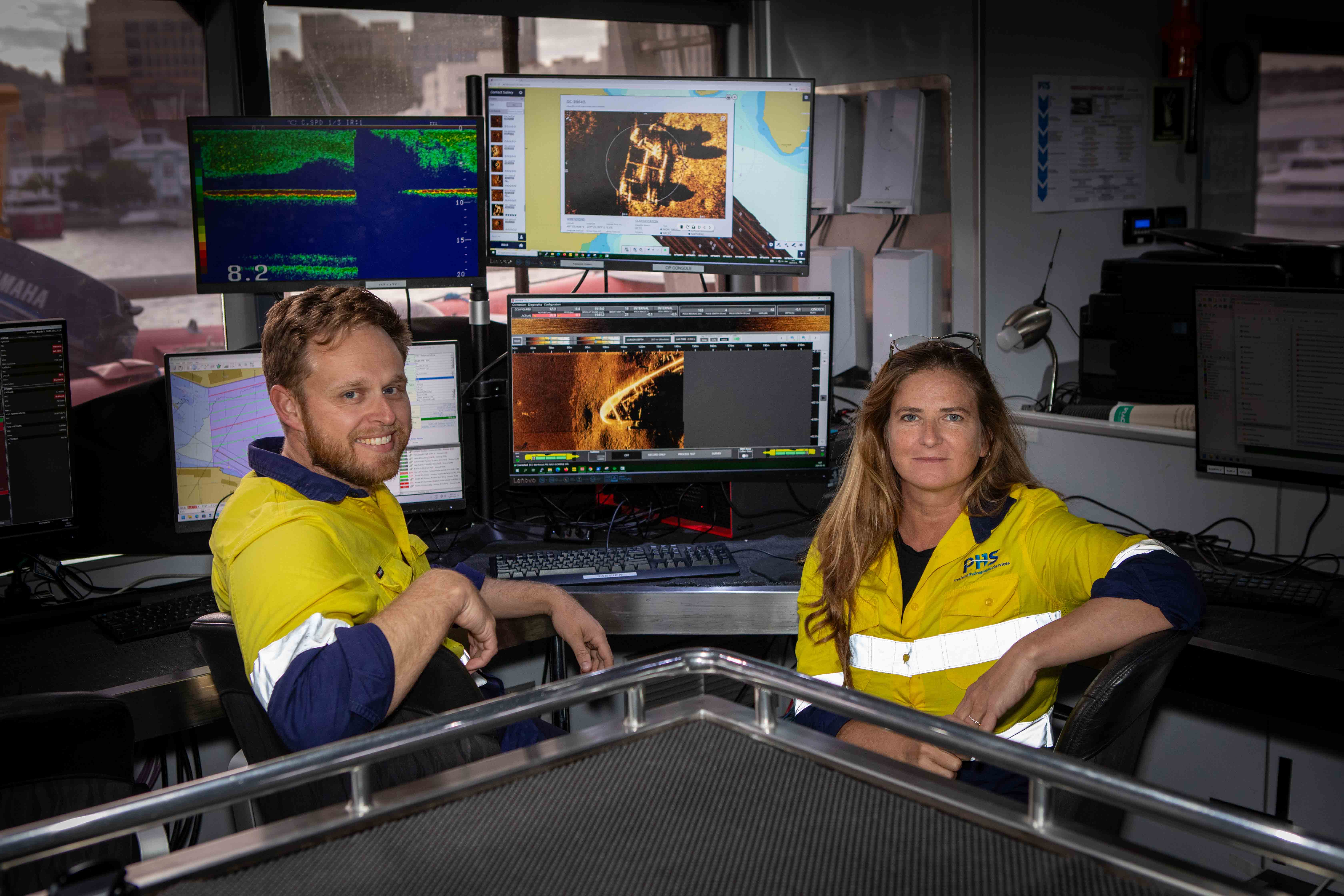
Over five months, in the first half of 2024, specialist teams from PHS and Kraken collected Maritime Geospatial Information (MGI) to support maritime domain awareness through the acquisition of high-resolution seabed foundation data and associated oceanographic data.
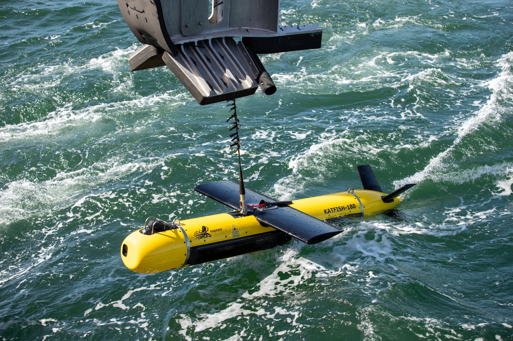
The project implemented advanced technology, including the Kraken KATFISH Synthetic Aperture Sonar System and the Exail GAPS M7 USBL system, deployed from a 35-metre catamaran provided and operated onboard the Offshore Unlimited, Hobart.
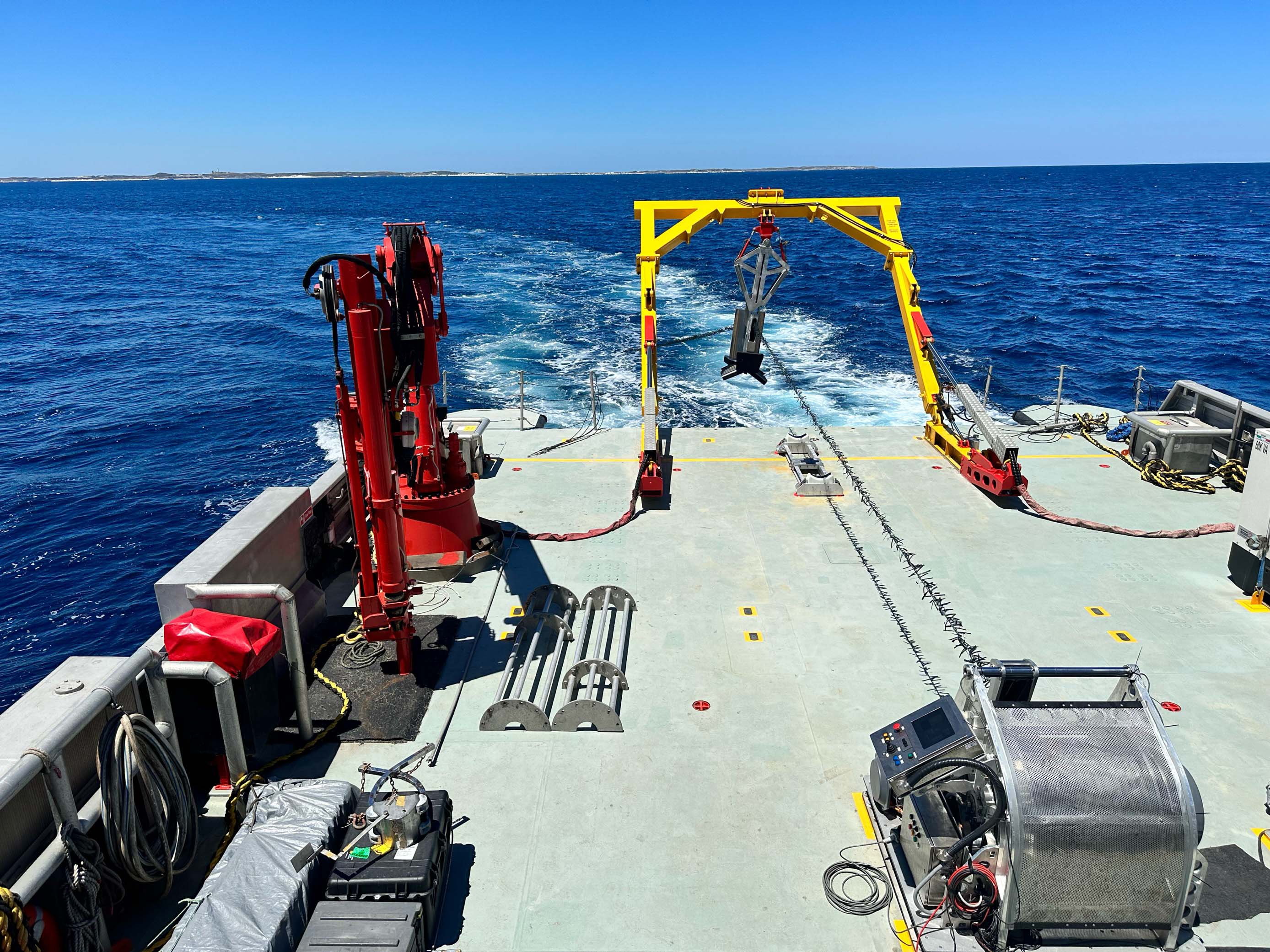
Revelare Systems, a sister company to PHS, were instrumental in modifying and automating the vessel’s standard A-frame enabling the safe launch and recovery of the KATFISH sonar while underway.
After a comprehensive mobilisation phase in January from the port of Freemantle, the teams from PHS, Kraken and Offshore Unlimited worked for the following five months capturing high resolution seabed imagery over numerous key strategic waterways around Australia’s major ports.
This recent project marks the expansion of PHS’ capability with the introduction of SAS technology to conduct geophysical surveys of this scale, the first of its kind in Australia.
Neil Hewitt, Managing Director of PHS, stated, “Our collaboration with Kraken Robotics and the KATFISH SAS System for this crucial Defence project has been highly successful.
Over the course of five months our team continuously surveyed thousands of line miles of Australia’s most important ports and waterway.
The Kraken KATFISH performed faultlessly, with not one hour of downtime.”
Kraken President and CEO, Greg Reid, added “The Australian Defence Route Survey project has provided an excellent opportunity to showcase the capabilities of the Kraken KATFISH system.
This is the first time a comprehensive wide area, multi-port survey project of this scale has been conducted with the KATFISH system – anywhere in the world.
To do so with no downtime is a testament to the skill of the vessel crew and the collaboration between the technical and survey teams from PHS and Kraken Robotics.”
PHS is proud to have partnered with the Australian Department of Defence to deliver this groundbreaking geophysical survey and to demonstrate their expanded geophysical capability with the integration of world-class seabed imaging sonar technology.
The project has underscored the significant benefits of synthetic aperture sonar technology over traditional side scan sonar, including consistent imaging across the entire swath, enhanced efficiency with increased rates of effort and exceptional data quality and positional accuracy.
The positive outcomes of this project also highlight the potential for SAS technology beyond Defence, such as large-area geophysical surveys supporting the offshore renewable energy sector.


